

Geotrails
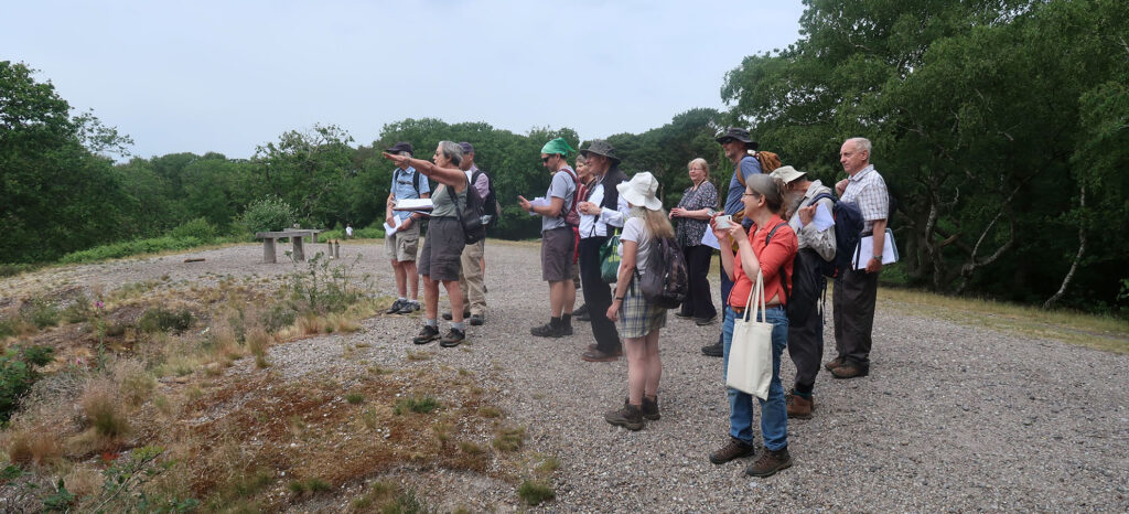
Leading walks and geotrails aimed at revealing the geology of London is a major part of London Geodiversity Partnership’s activities. You can find information on our upcoming guided geotrails on our Events page, and you can read and download our self-guided geotrails below.
You can find out more about walking routes and trails in the London area on Transport for London’s Walk London Network.
Please use the links below for more information and to download walks and audio-trails.
Local Geotrails
Kensal Green Cemetery Geotrail
London’s Rivers
Green Chain Geotrail
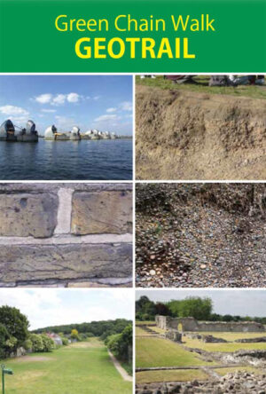
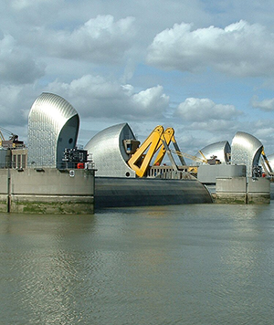
The Green Chain is part of the Walk London Network and is a series of walks across SE London, from the Thames Barrier to Crystal Palace linking together parks and woodlands. There are many places of geological interest in this area and the London Geodiversity Partnership has a number of Geotrails which follow the route of the Green Chain. Click on the links to download the self-guided trails.
Green Chain Walk Geotrail (2016)
This walk has been produced by members of the LGP in association with the Green Chain Walk. The Green Chain Geotrail connects some of London’s most important geological sites, allowing you to learn about the tropical seas and kilometre high glaciers that have covered London in the past. The Geotrail is a 7 mile walk from the Thames Barrier to Lesnes Abbey Woods.
Additionally, Audio Trails are available for 12 points of geological interest along the Green Chain Trail
An Audio-Trail through Time on the Green Chain Walk (2021)
The following guide supplements the audio trails and highlights stops on the Trail through Time to illustrate the changes in climate in the London area that go back more than 65 million years ago.
Green Chain: Climate change through Time (2021)
Finally, this leaflet highlights the best geological sites on the Green Chain.
Bus Pass Geology
See London’s geology from the bus! Click on the links to download guides on the geology that can be observed on London’s bus routes.
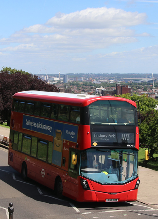
Bus Pass Geology 1 – Around the southern limits of the Anglian Ice Sheet (2019)
The route begins at Coldfall Wood in Haringey, a Locally Important Geological Site (LIGS), and ends at Stephens House (formerly Avenue House) in Barnet, another LIGS, via Highgate Wood/Queens Wood, a Regionally Important Geological Site (RIGS). Estimated total travel time, 1 to 11⁄2 hours. An optional continuation to the east is Alexandra Palace. Although this is not a designated RIGS or LIGS the site offers extensive views over the Thames towards the south.
Bus Pass Geology 2 – coming soon!
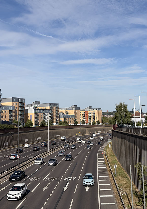
Bus Pass Geology 3 – Geology and hydrogeology across the Lea and Roding Valleys
This Bus Pass Geology excursion is written to take the reader on the Route 123 and Route SL2 from west to east, starting at Turnpike Lane and, via Ilford, ending at the North Woolwich Ferry Terminal. The 123 and SL2 follow the same route between Walthamstow Forest Town Hall and Ilford. This journey passes through the geology of north-east and east London, from the Eocene London Clay up into the Quaternary glacial and post glacial sediments. The route crosses important geographical features including the Lea and Roding Valleys and the Epping Forest Ridge and then down to the Thames at North Woolwich, where recent sediments overly the Chalk.
Local Geotrails
These are local, self-guided geotrails which were originally developed as walks. Click on the links to download the trails.
Greenwich Park Geotrail (2025)
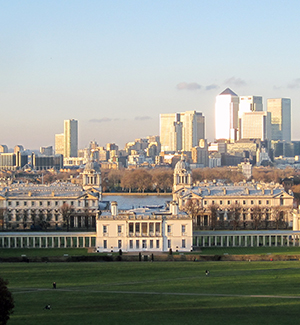
Greenwich Park is the oldest enclosed Royal Park covering 73 hectares with views across the River Thames to the Docklands and the City of London and lies within one of the most interesting areas geologically in Greater London as nearly all the different rock types to be found are in the close vicinity, several under the Park itself. This 5km long geotrail has been designed to demonstrate the effect of the geology on the landscape. Greenwich Park is part of Maritime Greenwich World Heritage site.
The walk starts from the Thames Path at Greenwich and then, through the Old Royal Naval College (formerly Royal Hospital for Seamen) and past Queen’s House (part of the National Maritime Museum) to enter Greenwich Park at Jubilee Gate. It finishes back on the Thames Path. The Pavilion Tea House makes a good halfway stopping off point and is conveniently placed near the famous Greenwich Meridian. The geotrail is mostly on metalled paths; there are some steep slopes.
Kensal Green Cemetery Geotrail: in search of famous Geologists and Engineers
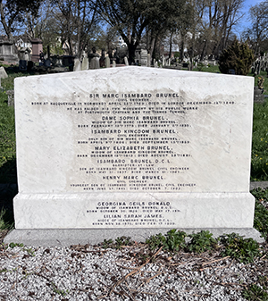
Presented for the Geologists’ Association Festival of Geology 2021, this geotrail is based around the monument to George Bellas Greenough and was intended to mark the 200th anniversary year of the publication of his geological map in 2020, however this was postponed owning to Covid restrictions. Many of the other tombstones selected are related to this event. This walk was devised by John Henry of the History of Geology Group and Diana Clements of the London Geodiversity Partnership with some details of the descriptions of the chosen heroes taken from publications by Eric Robinson and Henry Vivian-Neal.
Click here for Further Notes on the Geology of some Kensal Green Cemetery Memorials.
This 7 km geotrail takes a circular route around Richmond Park, starting and ending at the Kingston Gate Car Park. It passes Pembroke Lodge at the half-way point which makes a good stopping place for refreshments. Part of the walk (near Pembroke Lodge) is on the Capital Ring. This walk was devised by London Geodiversity Partnership in collaboration with the Royal Parks, the Friends of Richmond Park and the London Natural History Society.

Sydenham to Dulwich Geotrail (2026)
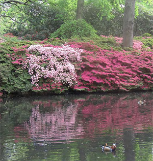
An 8 km walk from Sydenham Hill Station to West Dulwich Station to look at the Spas, Springs and Wells of South London. It goes through Sydenham Wells, Sydenham Hill Woods to the Horniman Museum where there is a view across central London to the Hampstead ridge. The walk then continues through Dulwich Park, past Dulwich Picture Gallery to Belair Park. This geotrail is dedicated to the memory of Paul Rainey who had the original idea for this walk.
Walthamstow Forest Geotrail: Geology and Building Materials on Forest Road and Leyton Flats (2026)
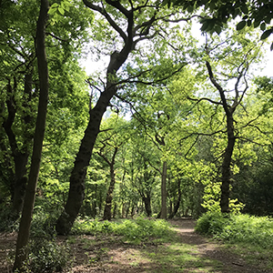
This walk takes in the building materials and geology in the NE part of Walthamstow and in the southern (and narrowest) parts of Epping Forest, known as Walthamstow Forest and Leyton Flats. This walk was devised by Ruth Siddall and was initially delivered as part of the Geologists’ Association Festival of Geology on the weekend of the 6th-7th November 2021. Photos of that event can also be viewed here.
Walking London’s Rivers
This trail has been prepared by the South London RIGS group and the Ravensbourne Geological Society. The Thames Path Geotrail is a self-guided walk of 6 miles from the Thames Barrier to Rotherhithe, and reveals some of the fascinating Earth Science stories hidden below the concrete foundations of London. Traces of past climate change and tales of human endeavour are illustrated by walking through the geology of London and the Thames. The walk follows the Thames Path National Trail from the Thames Barrier to Rotherhithe, with a short deviation along part of the Green Chain Walk.
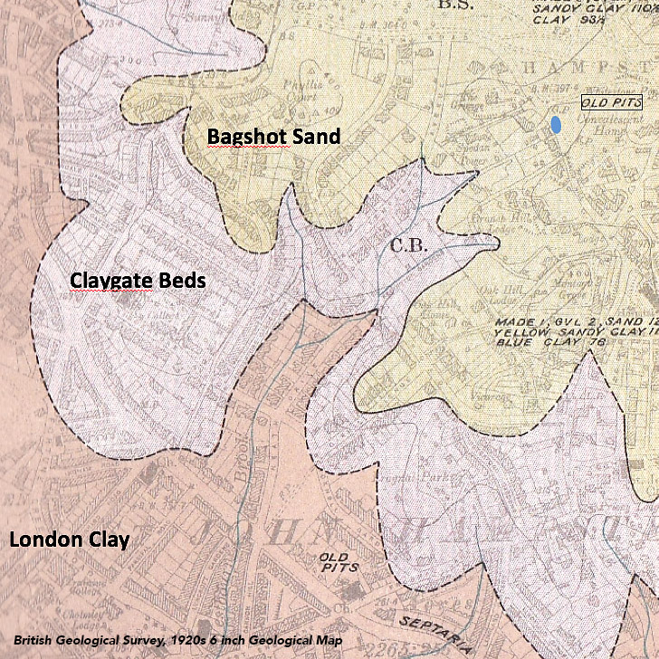
A geological trail along the River Westbourne from Branch Hill Pond on Hampstead Heath to the Thames. This geotrail was devised by London Geodiversity Partnership in collaboration with the Redington Frognal Association. The trail is designed to be used on a mobile phone to self-guide. It is divided into 3 parts:
Part 1: Branch Hill Pond to West Hampstead Station
Part 2: West Hampstead Station to the Serpentine
Part 3 : The Serpentine to the Thames
A flipbook of the walk is available on the Redington Frognal Association’s website.